New Interactive Online Water Resources
July 22, 2022
Image

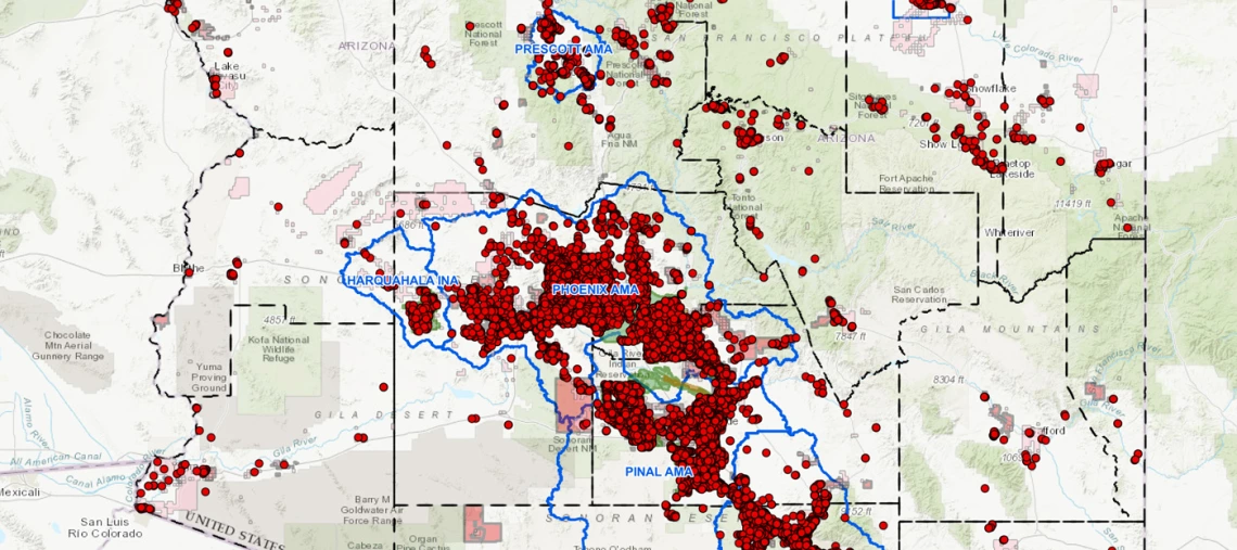
The Arizona Department of Water Resources (ADWR) and Arizona Department of Environmental Quality (ADEQ) have both recently released interactive online resources that may be of interest to water experts and members of the public alike. As part of their Assured and Adequate Water Supply programs, ADWR developed an interactive map that allows users to “find issued determinations, existing and approved demand volumes, water providers, registered wells, and recharge facilities.” Users can choose from several base maps — satellite imagery, simple road maps, topographic maps, etc. — and then toggle visibility on or off for more than a dozen layers featuring various types of water infrastructure, such as wells and underground storage facilities, and natural or man-made boundaries, such as groundwater subbasins and county lines.
ADEQ’s AZ Counties Demographic and Environmental Dashboard is similarly customizable. By toggling between the two data tabs and choosing from the county selection menu at the top of the screen, users may view demographic and environmental data for any Arizona county. The demographic data include population breakdowns by age, ethnicity, and political party affiliation, as well as statistics like average household income, average home value, and percent of households below the federal poverty level. The environmental data include statistics on air quality, including the number of active prescribed burns and levels of various air contaminants; water quality, including numbers of provisionally impaired water bodies and drinking water contaminants exceeding federal limits; and waste, including numbers of superfund sites and any hazardous waste cleanups.
Image: ADWR

