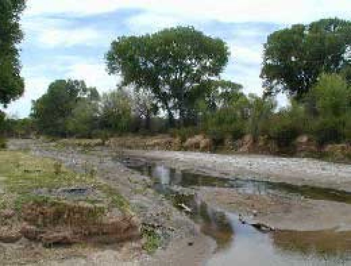
IBWC publishes San Pedro River Aquifer Binational Report

The International Boundary and Water Commission, United States and Mexico (IBWC) announces the completion of the San Pedro River Aquifer Binational Report. The study marks the first time researchers from both countries have collaborated to collect data and jointly prepare binational maps of the San Pedro River aquifer, which spans the border between the States of Arizona and Sonora near the communities of Sierra Vista, Arizona and Cananea, Sonora. The binational database and bilingual maps created for this study, and the resulting technical analysis, are an important contribution to scientists’ understanding of the aquifer.
The report is the result of a dedicated group of scientists from both countries that worked with IBWC according to an IBWC-approved binational cooperative framework to allow them to exchange ideas and information to improve the state of knowledge in the basin. “The cooperation between our two countries resulted in the collection of key information about our shared groundwater resources,” said U.S. Commissioner Edward Drusina. “These types of partnerships benefit scientists and water managers in both countries.”

“The information included in this joint study improves our understanding of the San Pedro River transboundary aquifer and provides a more solid basis for decision making related to water management in both countries,” said Mexican Commissioner Roberto Salmon.
The technical team for this study included personnel from the U.S. Geological Survey (USGS), Mexico’s National Water Commission (CONAGUA), and two state universities, the University of Arizona and the University of Sonora, working together under the auspices of the IBWC. Funding came from IBWC, USGS, CONAGUA, and the University of Arizona.

